+91-9761000203, +91-8126477725, +91-9411552512

Engineering

Understanding the Importance
of Geophysical Method

Geophysical methods are becoming very popular day by day due to their faster and cheaper implementation and ability to provide continuous information of the underlying soil strata.

Geophysical methods can be used for detailed investigation of sites which can save huge amount of unnecessary cost by minimizing the number of surprises when project execution starts.

Mostly, these methods do not require any kind of borehole drilling.

The maximum benefit of geophysical methods can be attained if they are used in the early stage of the project for better planning of detailed site investigation and planning of project.
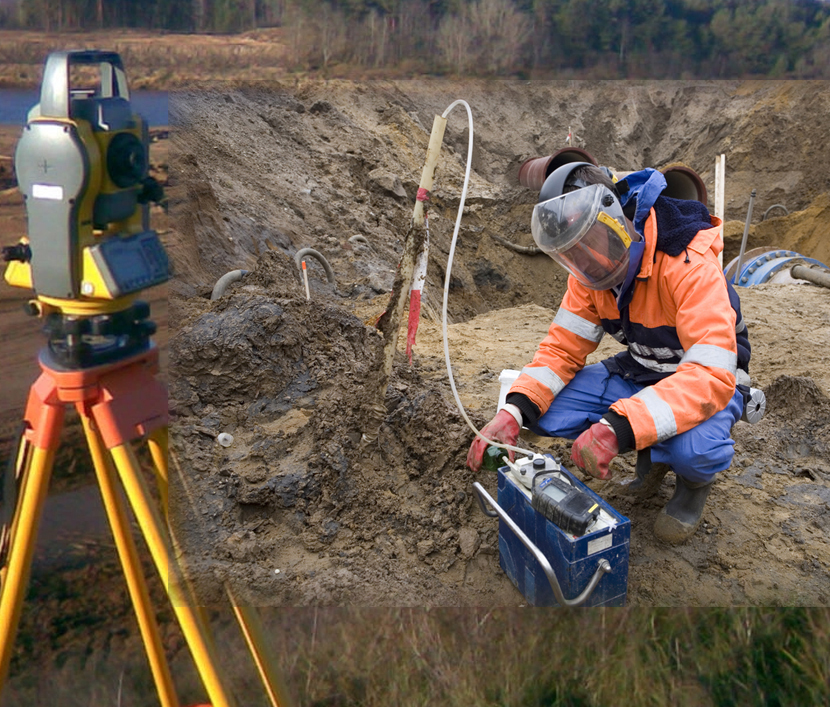
Factors

Most Essential Factors for Geophysical Methods

The important factors that need to be considered carefully before selecting a method or combination of methods.

What type and shape of feature is being surveyed?
What physical properties will show the best contrast for the given site conditions/problem statement?
Depth of the survey.
Expected spatial resolution of the properties being surveyed.
Time and cost constraints.
And many more that can be identified on the project-to-project basis by project engineer.

Technology

Selection criteria for Geophysical Method

The method or combination of methods best suited for a given problem depends on the kind of soil property contrast would be best suited to identify the soil layering information.

The properties which are identified by different geophysical methods are:

shape

Seismic Methods

Seismic methods, such as reflection seismology, seismic refraction, and seismic tomography, Multi-channel analysis of Surface waves (MASW). This type of survey is carried out to discover the detailed subsurface structure of soil and rock formations.

Electrical Resistivity Techniques

Electrical techniques, broadlyincludes electrical resistivity tomography, induced polarization, spontaneous potential. This type of survey is carried out mainly to study the existence of groundwater, types of soil/rock layering at different depths etc.

shape
shape

Ground Penetrating Radar

Electromagnetic methods, ground penetrating radar (GPR) is best suitable to perform the subsurface survey for shallower layers. Most of the times GPR is used to identify the existence of subsurface utility before excavation/construction works starts.

Borehole Geophysics

Borehole geophysics, also called well logging. Most common borehole methods are Cross hole and downhole seismic methods to get the precise estimation of soil layering in terms of Primary wave travel velocity and shear wave travel velocity in the respective medium.

shape